Boundary surveys
Precise measurement and demarcation of parcel limits, ideal for sales, inheritance, subdivisions and legal documentation.
Land surveying for architects, contractors and landowners across Malta and Gozo. Drone-assisted measurements, GPS-referenced accuracy, and clean deliverables your Perit can submit straight to the Planning Authority.
Precise measurement and demarcation of parcel limits, ideal for sales, inheritance, subdivisions and legal documentation.
Detailed elevation and terrain mapping using drone photogrammetry, GPS and total station — delivered ready for design.
Accurate transfer of architectural drawings onto site. We mark exact positions of foundations, walls and structural elements.
Verification and documentation of completed construction against the original plans. Required for compliance, sales and PA submissions.
Stockpile, excavation and quarry measurements using drone photogrammetry. Cut and fill calculations delivered in 48-72h.
High-resolution aerial photogrammetry and 3D scanning for large, complex or hard-to-access sites. Orthomosaics, DTMs, point clouds.
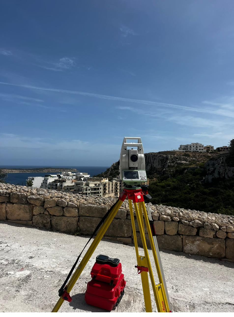
Coastal plots and clifftop sites — total station work with sea-level references, ready for your Perit's submission.
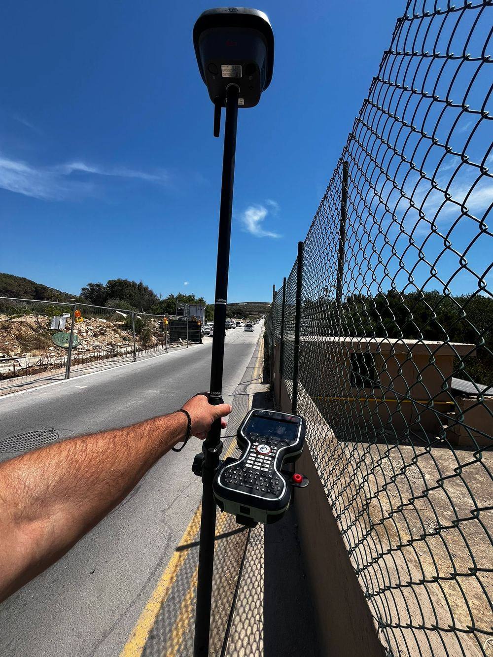
RTK GNSS for fast control and boundary points, even over awkward terrain and roadside alignments.
On active construction sites — precise setting out and as-built checks that work around your build schedule.
Send us your site, plot size, and what you need. We reply within hours with a clear quote and a date for the visit.
On-site visit with GPS, total station and drone. Most jobs are captured in 1-3 hours. Photos and references collected for your records.
Photogrammetry processing, drafting in CAD, quality control. We cross-check every measurement against ground control points.
DWG, PDF, point clouds, orthomosaics — whatever formats your Perit needs. Revisions handled within 24-48h.
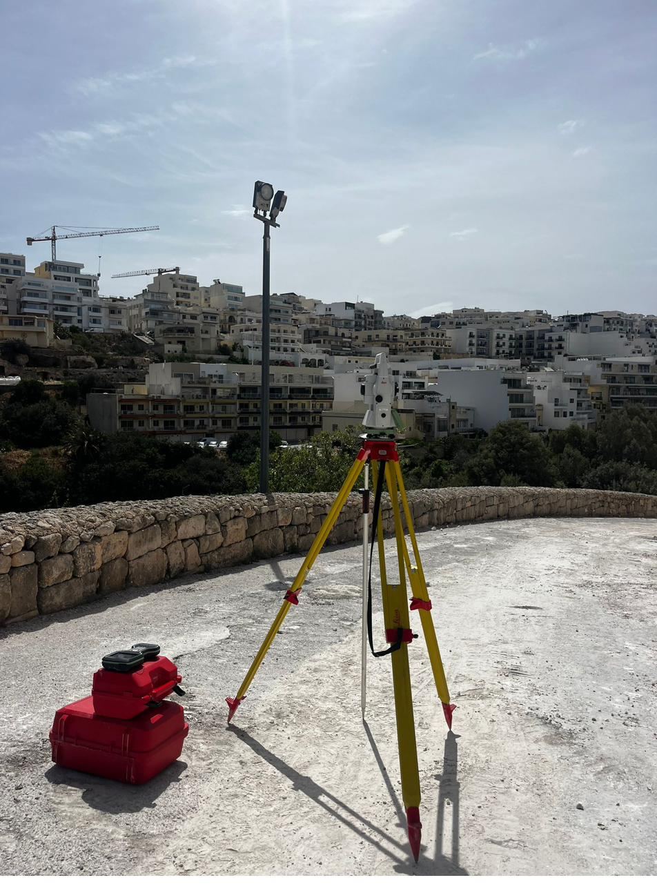
Robotic total station for high-precision setting out, as-built and boundary work where every millimetre counts.
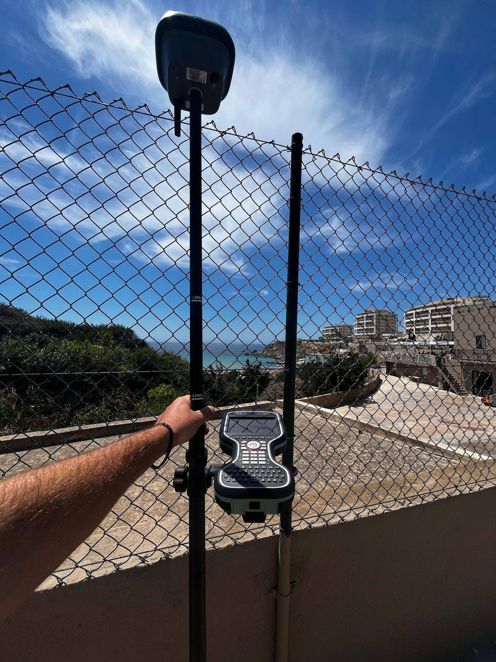
Tilt-compensated RTK GPS for fast boundary, control and topographic work. No more setting up over awkward points.
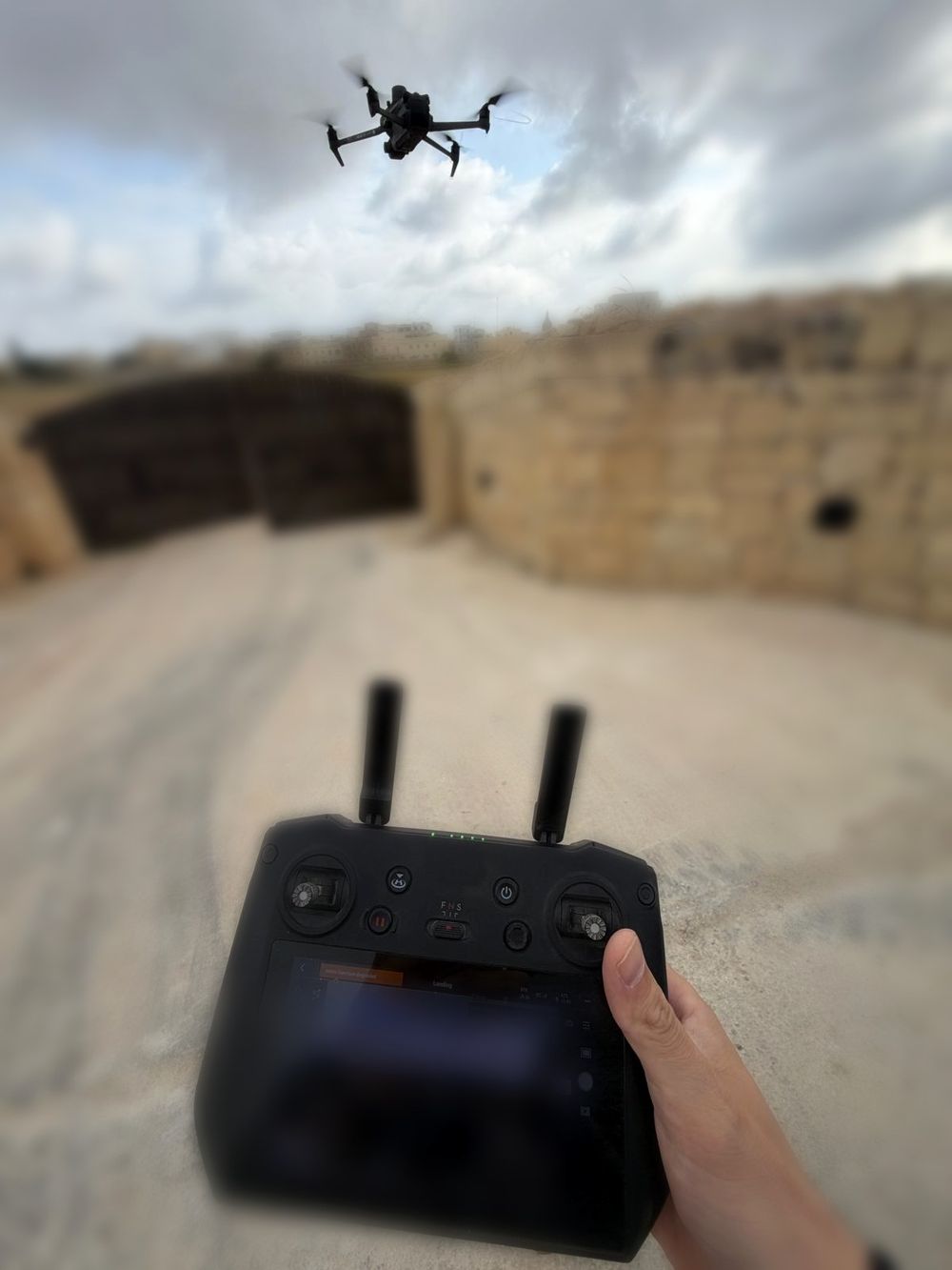
Professional photogrammetry drone with mechanical shutter and RTK module. Used for orthomosaics, DTMs and volume calculations.
We hand you survey data your PA submission needs — in DWG, PDF, point cloud or whatever format your workflow runs on. You sign, we measure.
Setting out and as-builts for sites with tight schedules. We work around your pour dates and crane lifts, not the other way around.
Selling, dividing, or settling boundaries with a neighbour? We give you a clear plan you can hand to your notary or architect.
Send us a message with your project — location, plot size, what you need and when. We reply within hours, often within minutes during office hours.